01 / FEATURES
GNSS and RTK status
Read GNSS positioning data and correction information.
GNSS / RTK measurement, FIX-state indication and project data export for office workflows.
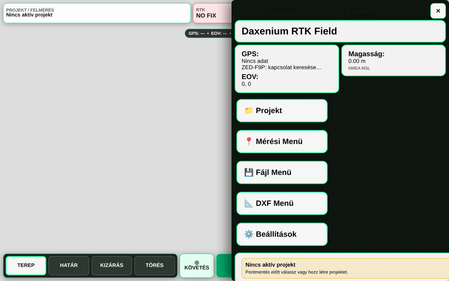
RTK Field combines a GNSS receiver and field user interface with point recording, positioning status and CSV export.
Demonstrated or planned capabilities. Confirm scope and release status before deployment.
Read GNSS positioning data and correction information.
Optional restriction to a valid RTK FIX state.
Record point identifiers, coordinates and related quality indicators.
Transfer measurement data to compatible office workflows.
Developed field system with project-specific hardware requirements. It is not marketed as a certified surveying instrument.
Tell us about the machine, process or system you would like to develop.
Request a demonstration ↗