01 / FEATURES
Projects and data
Organize uploaded files and project-specific measurement information.
Combine terrestrial survey points and drone-derived datasets into surfaces, profiles and earthwork estimates.
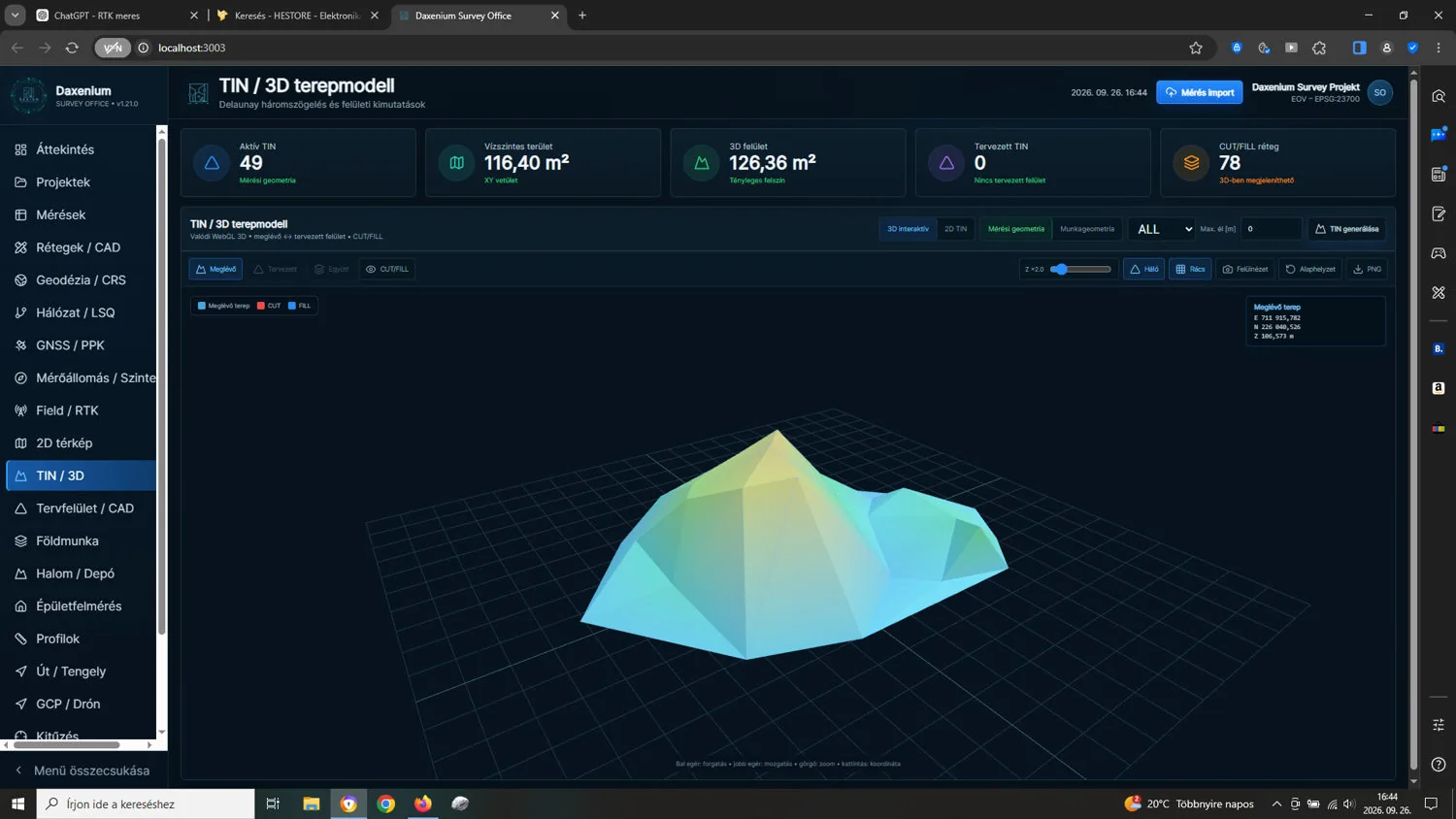
Survey Office processes supported point files and photogrammetry outputs to help create terrain models, sections and cut/fill estimates.
Demonstrated or planned capabilities. Confirm scope and release status before deployment.
Organize uploaded files and project-specific measurement information.
Work with points, terrain models and height data in supported formats.
Development of the image-processing pipeline and related orthophoto / DSM / DTM outputs.
Compare surfaces and calculate indicative cut, fill and volume figures.
Currently offered as a test release. Outputs should be independently checked before commercial or regulatory use.
Tell us about the machine, process or system you would like to develop.
Request a demonstration ↗